
Reading the Ocean: Preparing for Storms on the Crystal Coast
Hurricane Erin and Coastal Storm Awareness
Understanding and Preparing for Hurricanes on the Crystal Coast
The beaches of Emerald Isle and North Carolina’s Crystal Coast are known for beautiful weather, warm Atlantic water, and miles of open shoreline. But the same ocean that makes this region so special also produces powerful weather systems during hurricane season.
Storms like Hurricane Erin serve as reminders of how important it is to understand tropical systems, monitor forecasts, and prepare when necessary. Whether you live along the coast or are visiting for vacation, knowing how hurricanes develop and how to read storm forecasts can help you stay safe while enjoying the ocean.
How Hurricanes Form in the Atlantic Ocean
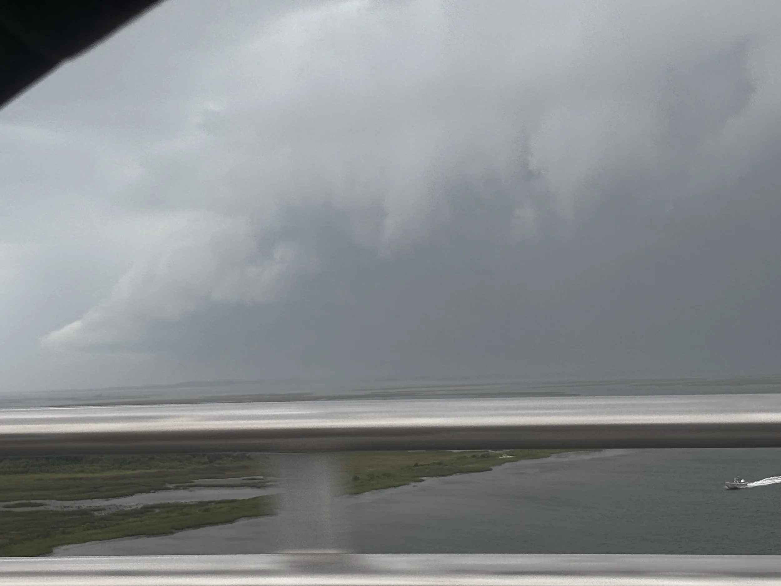
Hurricanes begin as tropical disturbances over warm ocean water. When sea surface temperatures reach roughly 80°F (26.5°C) or higher, warm, moist air rises from the ocean and begins forming clusters of thunderstorms.
As these storm systems organize, the Coriolis effect (caused by Earth’s rotation) helps the storm begin to spin. If atmospheric conditions remain favorable — including low wind shear and warm water — the system can strengthen into a tropical storm or hurricane.
The Atlantic Ocean regularly produces these storms during the Atlantic hurricane season, which runs from June 1 through November 30.
For coastal communities like Emerald Isle, Atlantic Beach, and the surrounding Crystal Coast, tracking these developing systems is an important part of coastal life.
Monitoring Storms Like Hurricane Erin
Today, meteorologists track tropical systems using a combination of advanced tools, including:
Satellite imagery to observe cloud structure and storm rotation
Ocean buoy data measuring wave height and pressure changes
Hurricane hunter aircraft that fly directly into storms to collect atmospheric data
Computer forecast models that simulate possible storm paths
The National Hurricane Center (“NHC”) uses this data to produce forecast tracks, intensity projections, and storm advisories that help coastal communities prepare.
Even when storms remain offshore, systems like Hurricane Erin can still influence weather along the North Carolina coast, bringing larger waves, stronger winds, and coastal rain bands.
Understanding Hurricane Forecasts
When monitoring a hurricane forecast for Emerald Isle or the Crystal Coast, three key elements are important:
Storm Track
This shows the projected path of the hurricane. Forecast tracks represent the center of the storm, but impacts can extend hundreds of miles outward.
Storm Intensity
Meteorologists estimate wind speed and central pressure to determine whether a system remains a tropical storm or strengthens into a hurricane.
Timing of Impacts
Forecasts also estimate when outer rain bands, wind, and waves may begin affecting coastal areas.
Because hurricanes are dynamic systems, forecast tracks often shift over time. That’s why experts recommend checking updates from the National Hurricane Center or trusted coastal weather sources regularly.
Preparing for Hurricanes on the Crystal Coast
Preparation is one of the most important aspects of hurricane safety. Even if a storm ultimately stays offshore, taking basic precautions helps reduce risk.
For people staying along the Crystal Coast of North Carolina, preparation often includes:
• Monitoring official hurricane forecasts and weather updates
• Following guidance from local authorities and emergency management
• Securing loose outdoor items if strong winds are possible
• Staying informed about evacuation routes and local advisories
Fortunately, many Atlantic storms weaken or change course before reaching the North Carolina coastline, but preparation ensures everyone stays ready if conditions change.
How Hurricanes Affect Emerald Isle Beaches
Storm systems can significantly change Crystal Coast beach conditions, even if the center of the storm remains far offshore.
Hurricanes and tropical storms often produce:
• Large ocean swells and rough surf
• Strong rip currents along the shoreline
• Elevated tides and beach erosion
• Changing sandbars and wave patterns
From a coastal science perspective, storms can reshape the shoreline by moving large volumes of sand along the beach through a process called longshore sediment transport.
These changes sometimes create new sandbars or wave breaks that surfers notice after a storm passes.
Returning to Calm After the Storm
One of the most remarkable things about the Crystal Coast is how quickly the coastline returns to its peaceful rhythm after a storm moves through.
Once skies clear and the ocean settles, the beaches of Emerald Isle once again fill with the sounds of waves, seabirds, and visitors enjoying the shoreline.
Storms like Hurricane Erin remind us of the power of the Atlantic Ocean, but they also highlight the importance of staying informed and prepared while living or vacationing along the coast.
Enjoying the Crystal Coast Responsibly
Whether you’re visiting Emerald Isle for a beach vacation or spending the summer along the North Carolina Crystal Coast, understanding coastal weather is part of enjoying the ocean safely.
By monitoring storm forecasts, understanding how hurricanes develop, and preparing when necessary, visitors and residents alike can continue enjoying everything that makes the Crystal Coast such a special place.